|
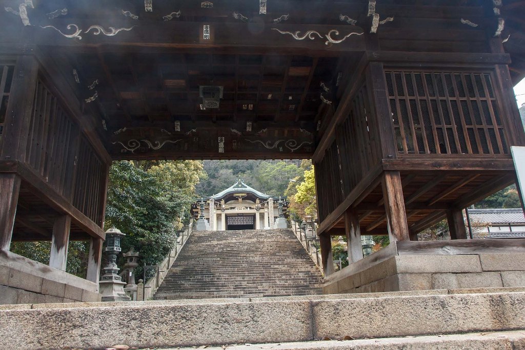 |
| 12-Entrance Nunakuma shrine | |
| Latitude: N 34°23'10,71" | Longitude: E 133°22'45,04" | Altitude: 10 metres | Location: Tomo | City: Tomochouushiroji | State/Province: Hiroshimaken | Country: Japan | Copyright: Ron Harkink | See map | |
| Total images: 13 | Help | |